Project Overview
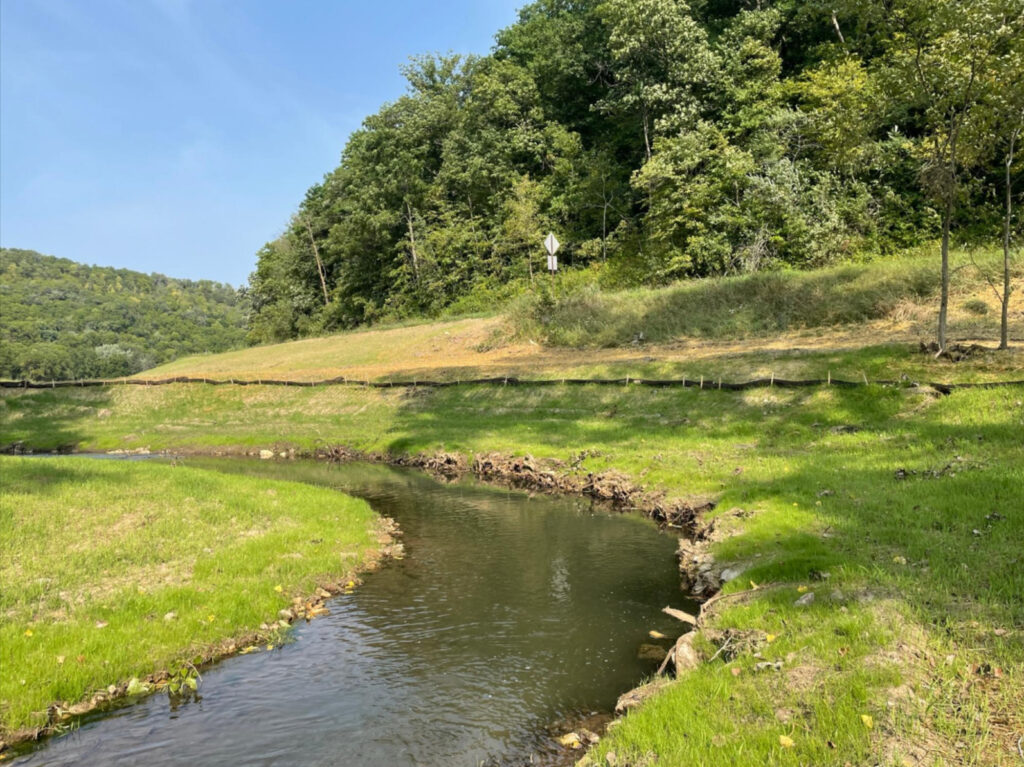
Located in southeast Winona County, the Cedar Valley Creek HI project was completed in early August , restoring approximately 5,200 feet of trout stream. Cedar Valley Creek is well known as a productive brown trout fishery, but poor conditions created challenges for angling.
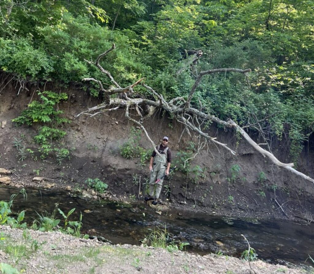
In particular, the current HI project on Cedar Valley Creek targeted steep, actively eroding banks, which in some locations reached 8 feet in height (see pictures). A streambank erosion estimator that utilized field data collected prior to restoration estimates that the completed project will prevent 136 tons of soil (equal to almost 10 dump truck loads!) from entering the stream channel each year. In addition, habitat enhancements, including eddy boulders, pool logs, rootwads and rootwad habitat jams, and rock riffles were added throughout the project reach. Invasive and aggressive trees (e.g., black locust, box elder, and buckthorn) were removed, while many mature black walnut and cottonwoods were preserved to provide shade and important non-game wildlife habitat.
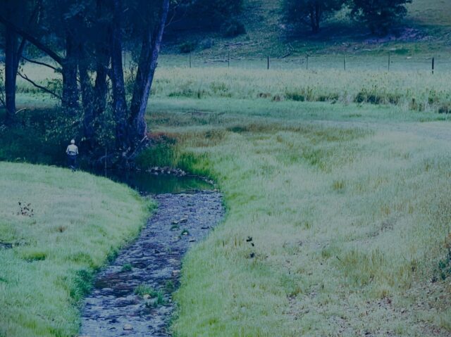
Before
Prior to the habitat improvement project, this stretch of Cedar Valley Creek was deeply incised, with steep, actively eroding banks.
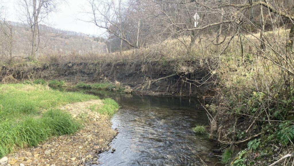
During
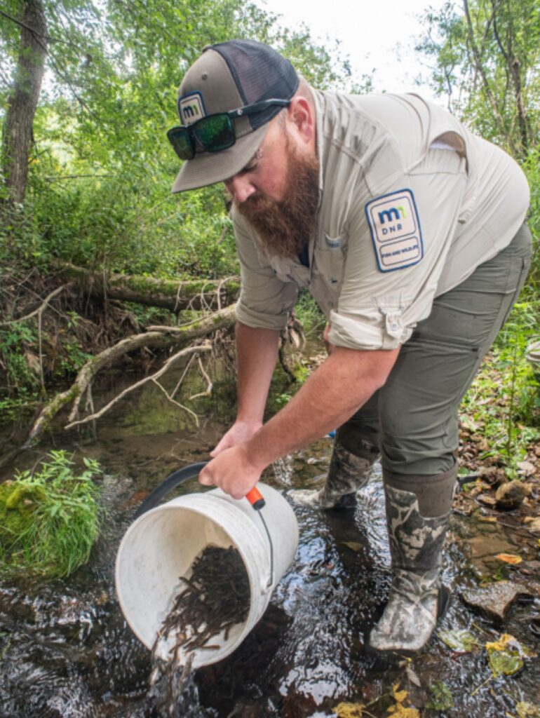
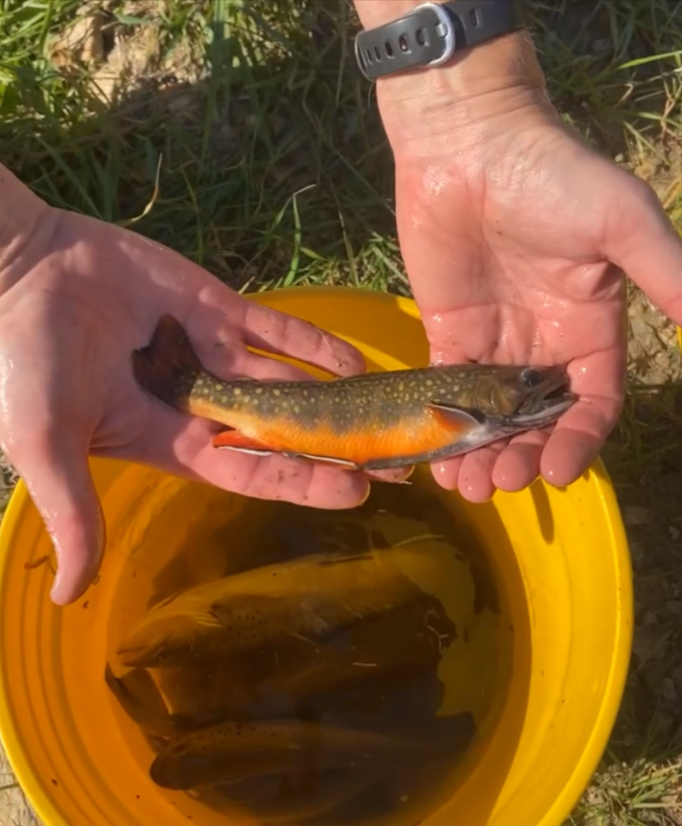
Lanesboro DNR staff stock heritage strain brook trout in Cedar Valley Creek upstream of project in August 2023 (photo: John Weiss)
After
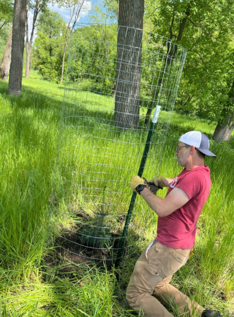
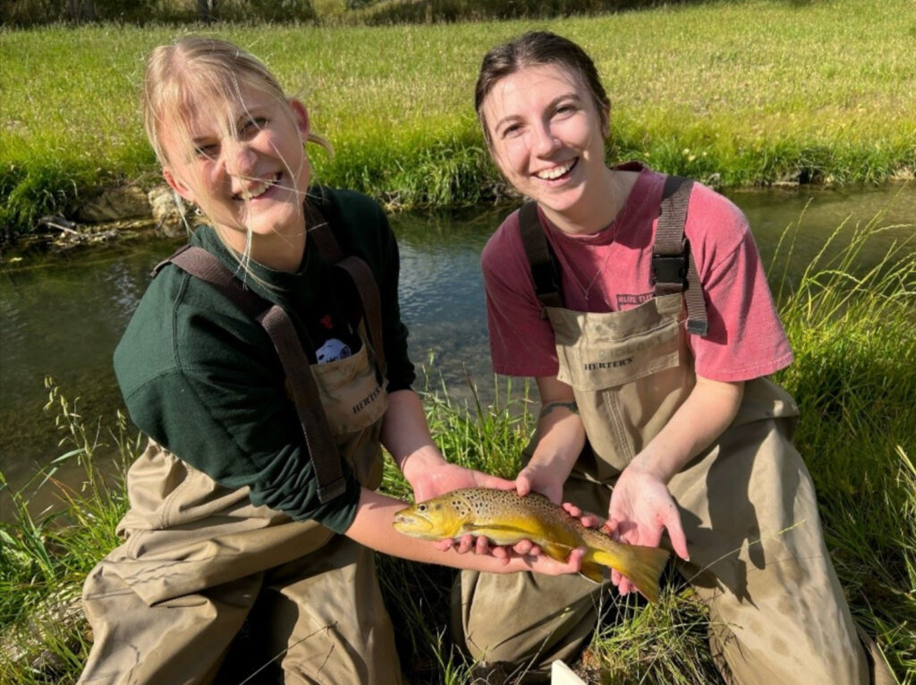
Students from Winona State University sampled an adult brown trout during an electrofishing survey. Win-Cres chapter member plants trees at Cedar Valley Creek in May 2024.